After a few weeks expecting to make this climbing, finally we try the Monarch or Pyrenees, widely visited by lots of mountaineers.
Peak Aneto is the highest top in Pyrenees, second highest Summit in Iberian Peninsula, after MULHACÉN and the third one in the whole Spain.
We expect to climb two peaks over 3.000 m - 9.842 ft:
- ANETO (3.404 m - 11.167 ft)
- PUNTA OLIVERAS - ARENAS (3.298 m – 10.820 ft)
Spanish version in this link: ANETO (3.404 m). VÍA NORMAL GLACIAR DE CORONAS (PD-/250 m/50º máx) - PUENTE DE MAHOMA (F+/25 m/II+ máx)
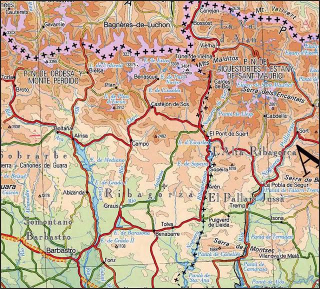
SITUATION
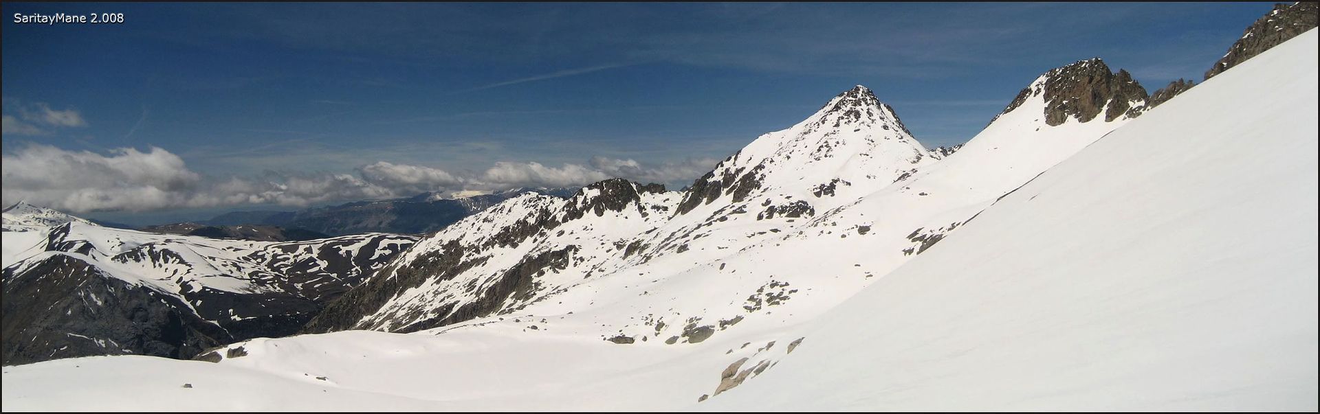
Massif of the Maladeta. Natural Park of Posets - Maladeta. Province of Huesca.
STARTING POINT
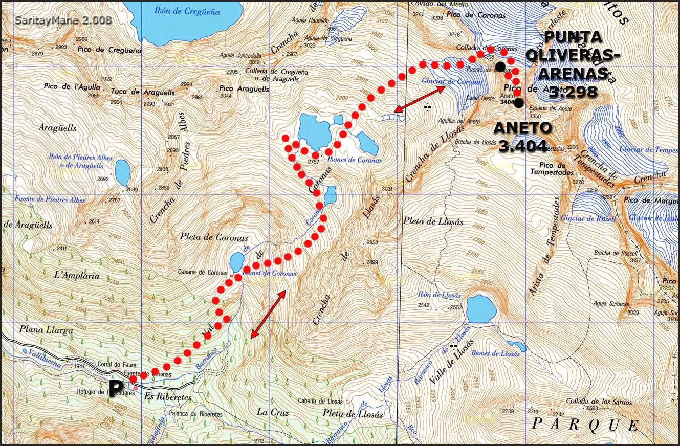
Hut of Coronas, also called 'Hut of Ballibierna', settled at the end of the track that goes through the Valley of Ballibierna.
From Benasque follow the road A - 139 that goes through the Valley of Benasque. After a few kilometers, take the detour to the area called 'Plan de Senarta' and Vally of Ballivierna, which is post-signed. Then follow the track, beginning at a lifting fence. This tracks goes through the Valley of Ballivierna, to the area of 'Puente de Coronas'. There you can leave your car parked. The Hut is a close to this place.
This track is closed in winter because of the snow, ice and rock slidings. In July and August private vehicles are not allowed to pass. But there's a regular bus service, managed by the city council of Benasque. For more information, ask on Benasque’s Tourist Office.
After these dates, you may use this track, but is important to remind you of there are many people coming on weekend, specially in summer and spring. And usually there`s no room in the hut by those dates. You'd better make a book before go.
To go to Benasque (province of Huesca), search on GUIA REPSOL.
CARTOGRAPHY
Valle de Benasque 1:30.000. Alpina Editions.
Benasque-Ball de Benás 1:40.000. Pirineo Editions.
MAP
SUMMARY
UNEVENNESS: 1.700 m – 5.577 ft (+/-)
TOTAL DISTANCE: 13 km – 8,07 miles.
TOTAL TIME : 09:00 hours.
DIFFICULTY: Less Difficult minor.
45º max snow slopes, near the Coronas Pass, with a short pass of rock and ice closed to the exit of the couloir (in winter).
There is a very narrow pass, roughly 20 m - 65 ft long, closed to the summit. A popular pass known as 'Puente de Mahoma' (Mahoma's Bridge) because you need lots of faith to get through it. Finally, it's a bit unpleasant to cross, but that's all.
GEARS: Basic winter equipment. You may carry a rope and belay devices for a simple belay station on the pass or over the 'Puente de Mahoma' as well. Speaking of this point, we found a crack anchor in the pass of Coronas which can be use for abseiling, but nothing else. Don't forget of the helmet.
THE CLIMB
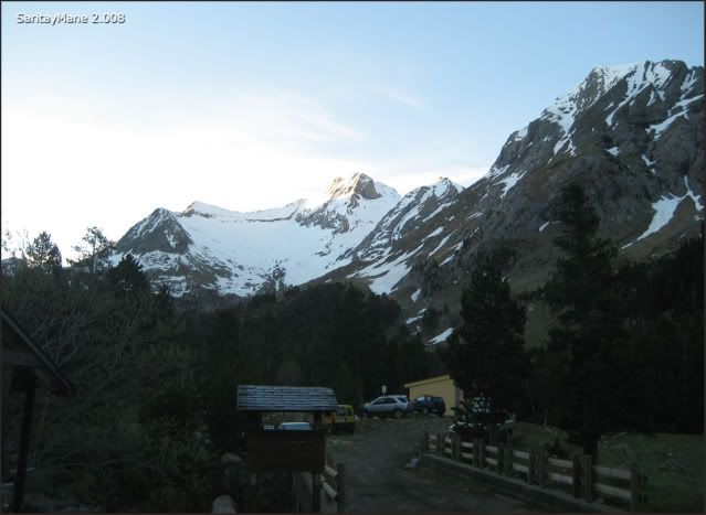
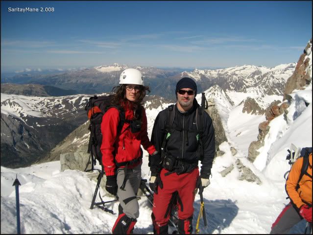
After taking the track we arrive to the parking area of Coronas. We don't intend to go to the hut, because we expect it to be full of people, so we'd better sleep in the van.
After the dinner, we go to sleep... we must get up early, as usual. At last we're climbing the Aneto!
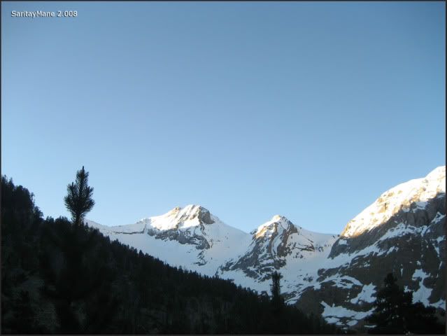
We wake up near 05:00 hours, we have the breakfast and prepare our backpacks. By 06:30 h we're ready to go...
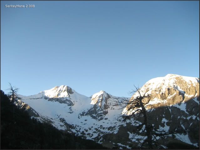
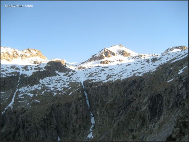
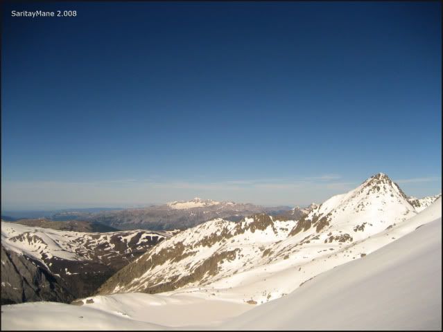
... first lights above CULEBRES and BALLIBIERNA.
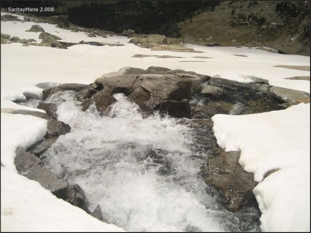
We begin following the path to the Ibones de Coronas (remember that an 'Ibon' is a mountain lake), there's a poor light by now, so we'll cross amid the forest as fast as we can.
The path goes parallel to the brook coming from Ibonet de Coronas ('Ibonet' is a small mountain lake), there are many landmarks, so it's hard to get lost.
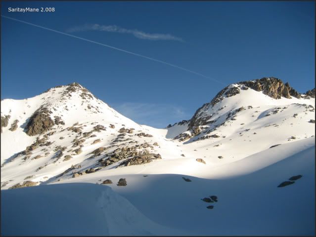
... see again Tuca de Culebres y Tuca de Ballibierna...
... glancing at it as we walk...
... the dawn gets to touch the rest of the peaks yet.
Ascending rapidly we arrive to the Ibonet de Coronas. We must cross the drain of the Ibonet, to continue ascending looking for the Ibón Inferior de Coronas, through rock blocks, and following the landmarks.
... taking a look at the way done...
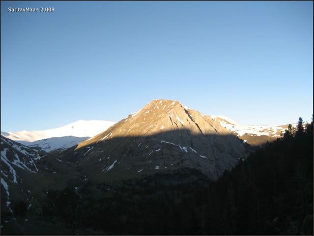
... and the ARAGÜELLS fully cleared...
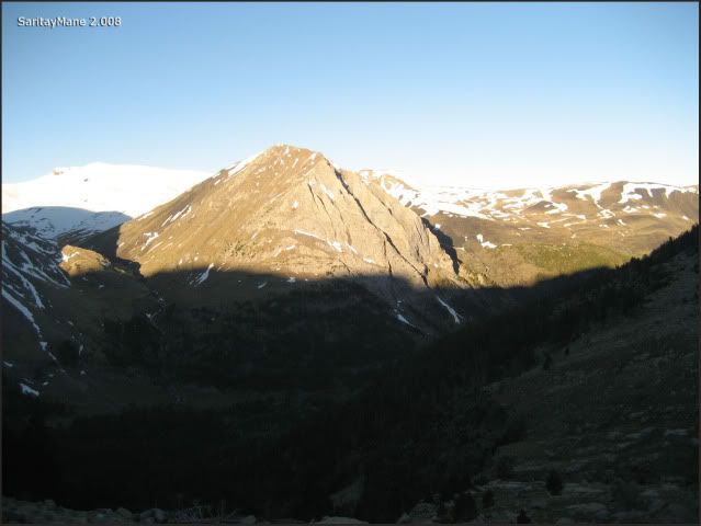
... more and more closer...
... while we continue climbing.
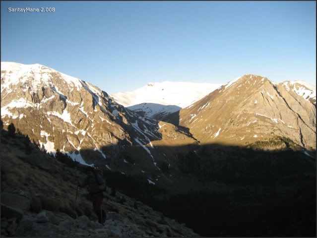
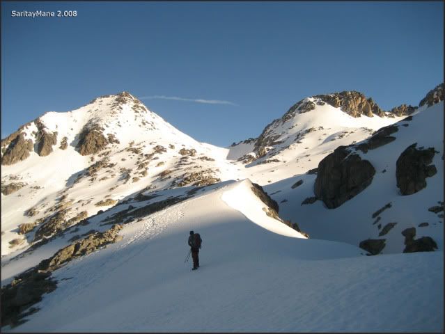
A few meters up, we find a small group of mountaineers, including a little climber, 6 years old... walking to the Aragüells! That's the kind of sons I'd really preffered.
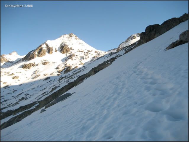
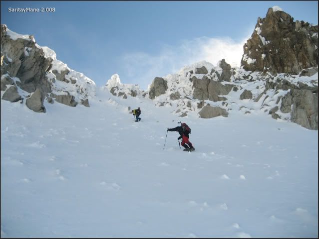
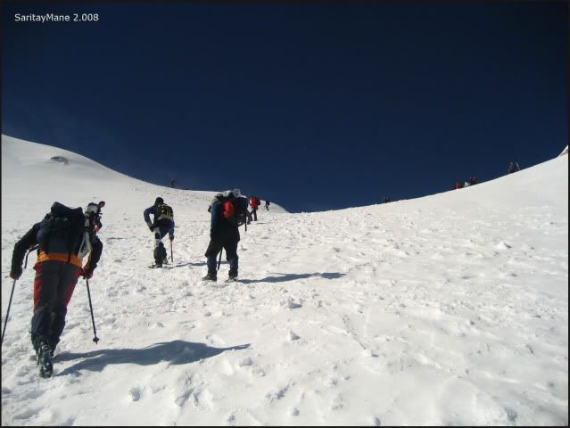
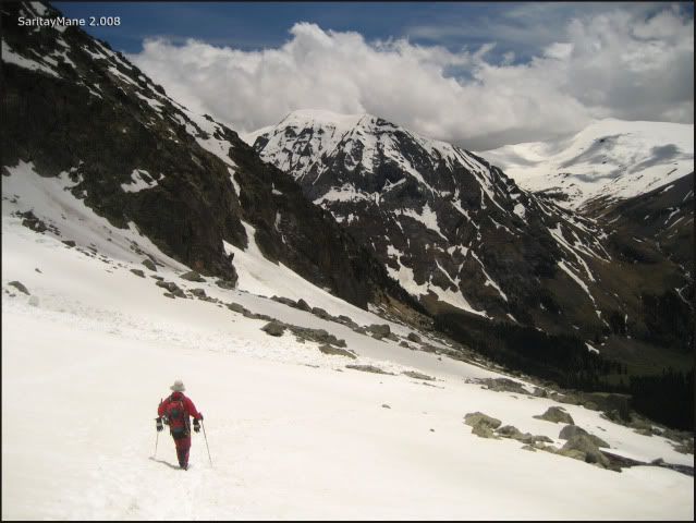
After the meeting, we follow the path and soon find first soft snow, so that It gets hard to advance. Finally, we find a good carpet of snow, so we move faster.
... below the shadow by the time...
... while the sun bathes the Aragüells...
... very close to the 'Ibón Inferior de Coronas'...
... which we surround easily...
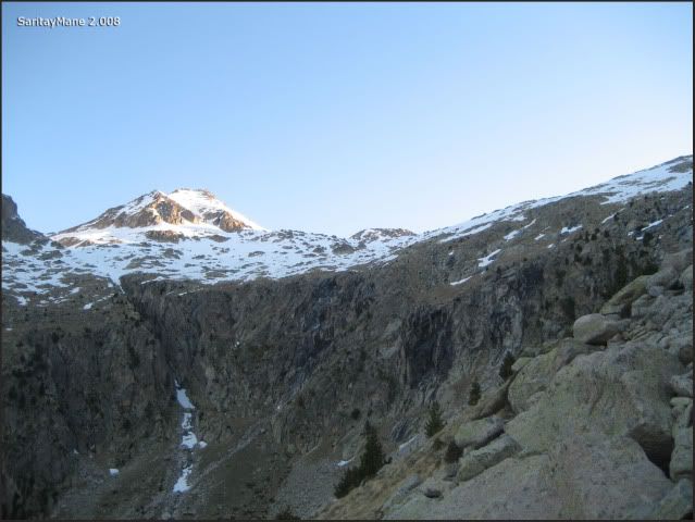
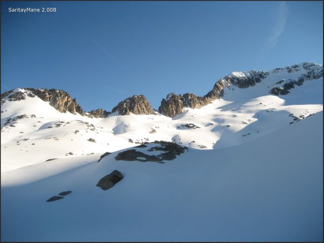
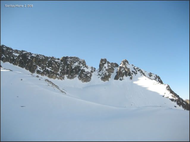
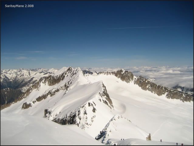
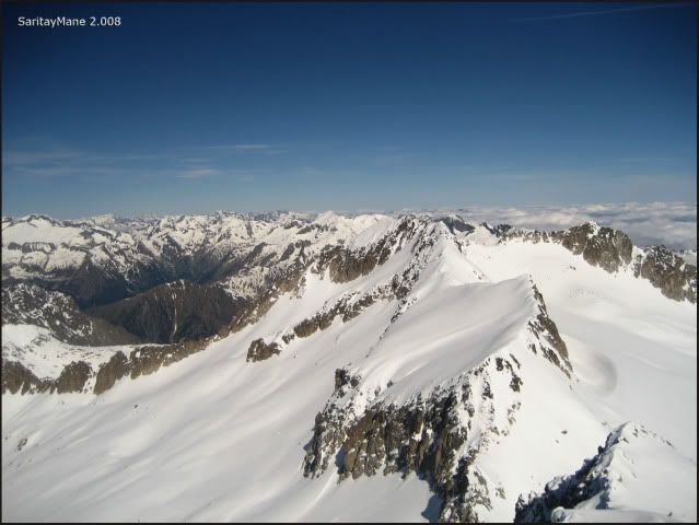
... from this point we can see the 'Brecha (crevasse) Inferior de Llosas'...
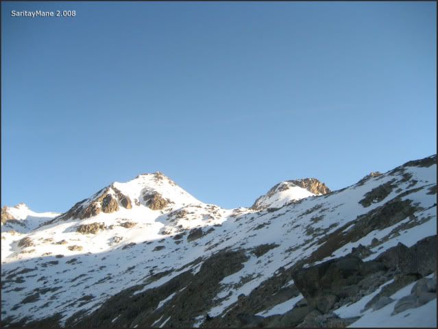
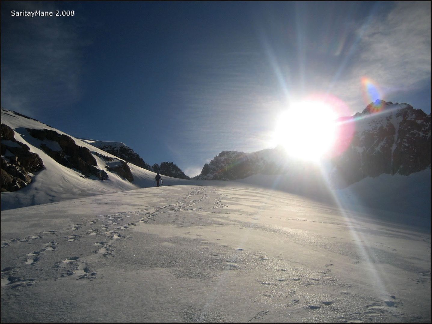
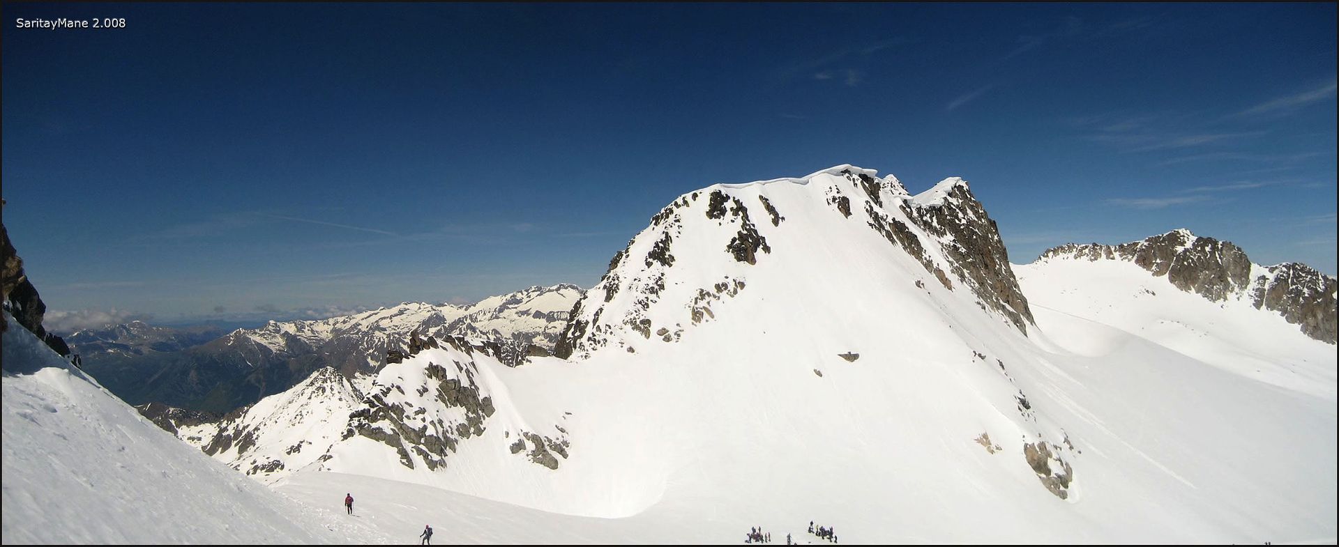
... the Aneto seems majestic... this is the day!!...
... while we look for the 'Ibón Medio de Coronas'...
... the sun rises backwards the Pyrenees's Monarch...
... glancing ARAGÜELLS and AGUJA JUNCADELLA a bit closer...
... and take a look at the Crest the Cregüeña to Peak Maldito...
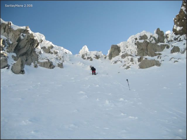
... here we stop to prepare ourselves.
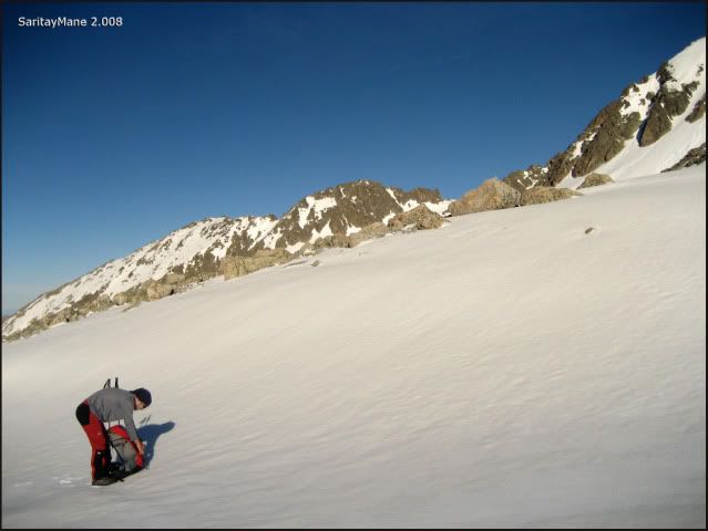
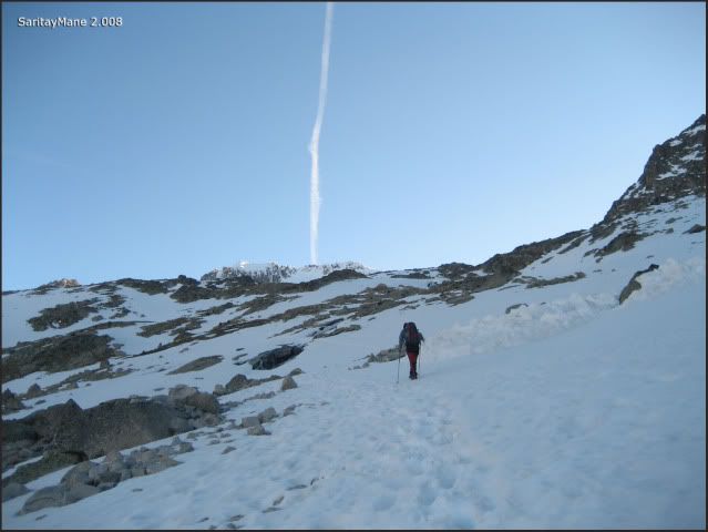
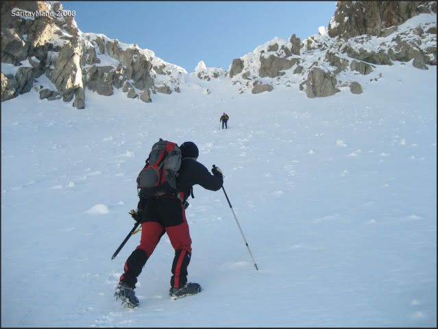
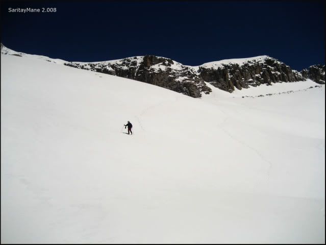
From this point the snow is harder. So we'd better put on our crampons and take our ice axes.
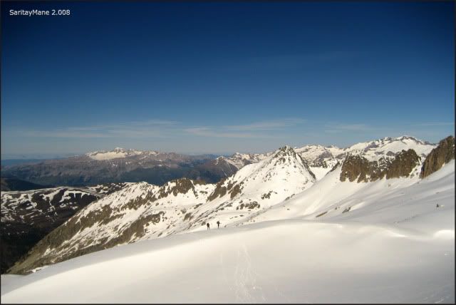
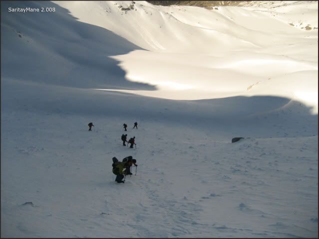
Excep of the family group we met before, we haven't find anybody until now. But we can see a big group of mountaineers in front of us.
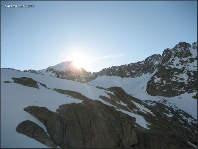
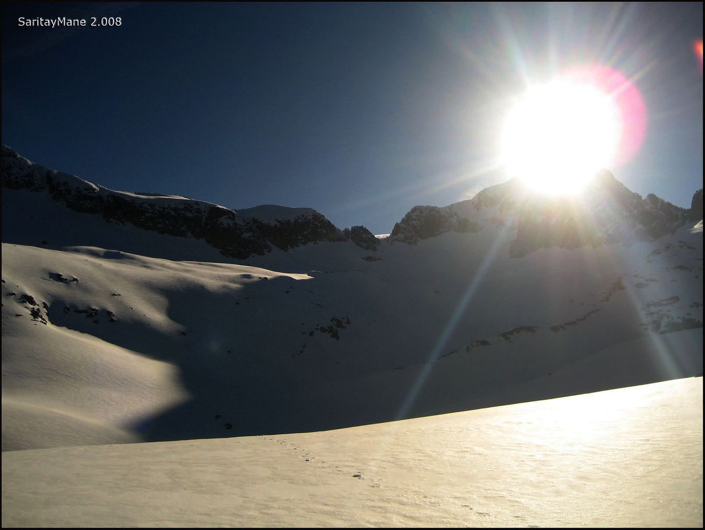
The sun looks like a spotlight above the Aneto...
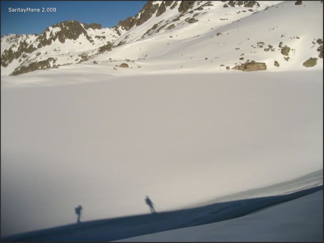
... our shadows spread on the 'Ibón de Medio de Coronas'...
... a big spotlight...

... taking a look at the way walked...
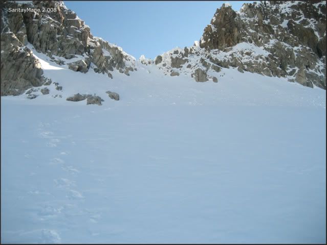
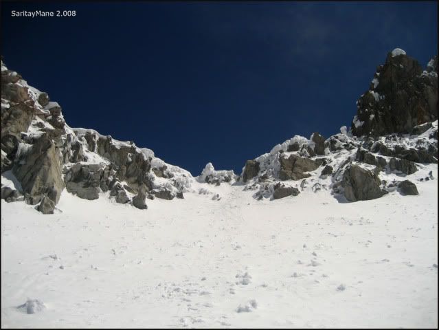
... approaching to the 'Collado de Coronas'...
... looking at the 'Cresta de Llosars'...
... as we leave back Aragüells...
... and Mane walks first...
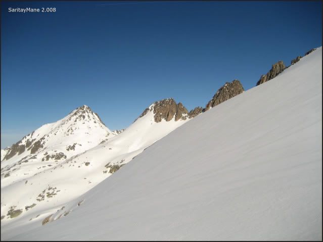
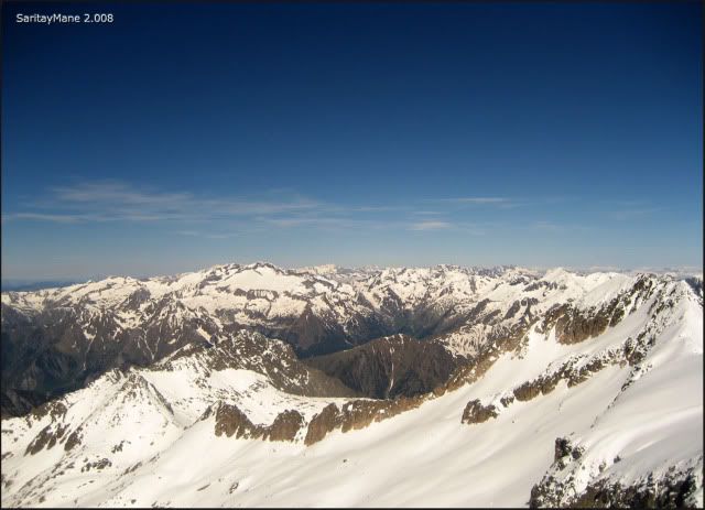
... looking at the Massif of Cotiella further.
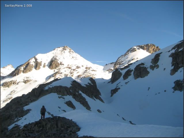
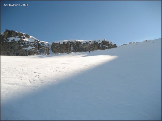
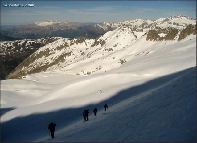
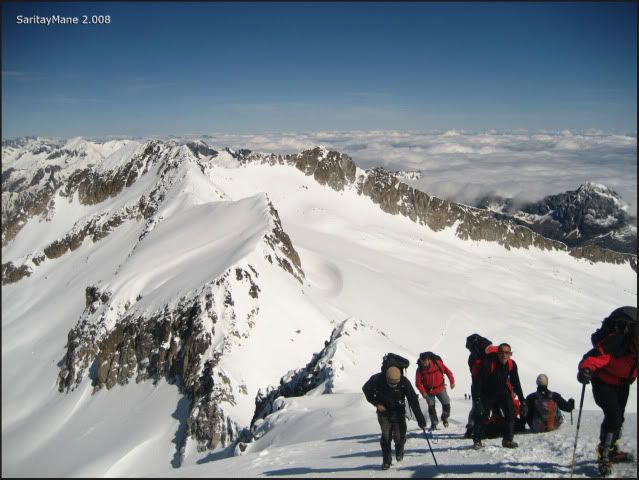
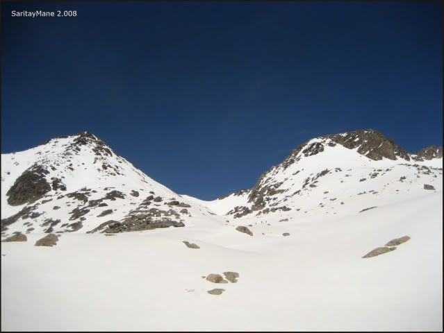
A few meters up we find a plateau at the feet of 'Collado de Coronas' where we catch the group walking before us.
We make a pit stop and to drink water and begin moving again.
Looking backwards...
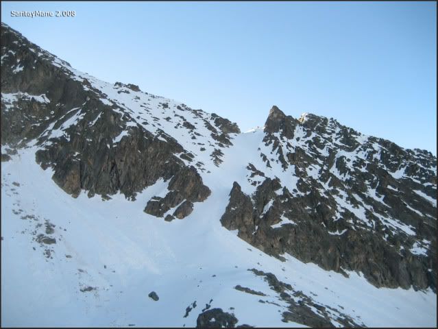
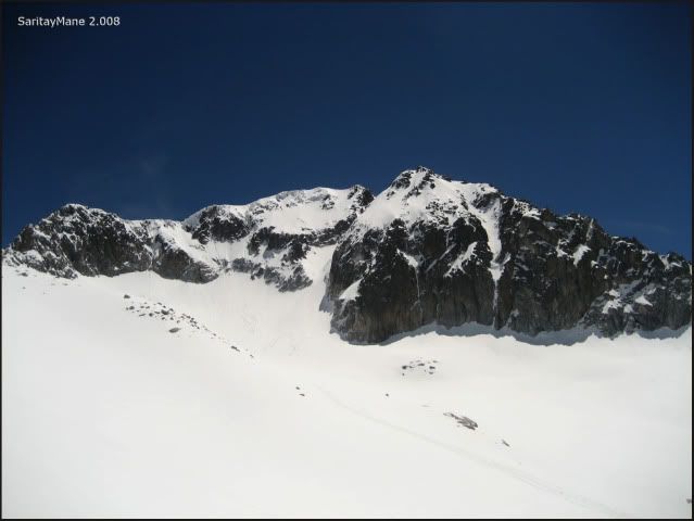
... and the Corredor (couloir) Estasen, unforgettable...
... by now we’ve already passed the other mountaineers...
... and the 'Collado de Coronas' a bit closer...
... again the 'Corredor Estasen'.
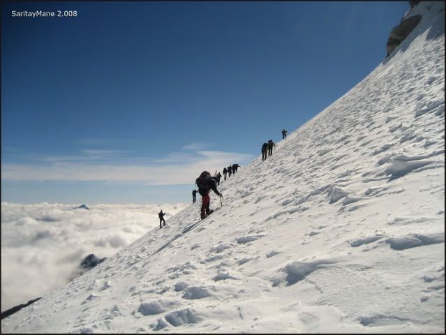
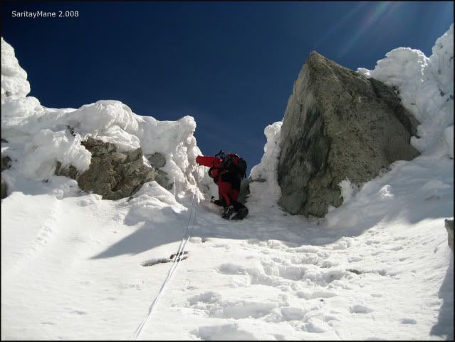
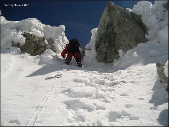
At this point, we find the last step to get the pass. One climber remains in front of us. This is getting steeper
... ascending carefully, it's a hard thin snow layer and a steep slope...
... looking at the Posets...
... observing that the climber going before us seems a bit unsteady.
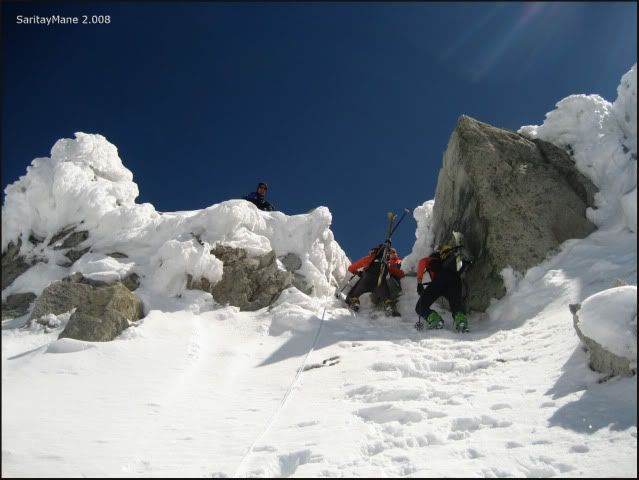
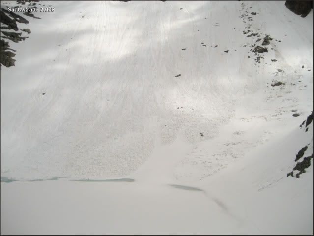
Finally this first climber… fells down!, sliding down the slope... but fortunately, he doesn't speed up too much, and gets to brake a few meters down, in a short plateau. At last, all of us brethe long and deeply...
... there you'll see his trekking stick. He wastn't using his ice axe.
From this moment, some components of the group decide not to go on, because they're afraid of the slope.
The group after the shock...
... so everything is alright and we continue climbing, looking at the Estasen.
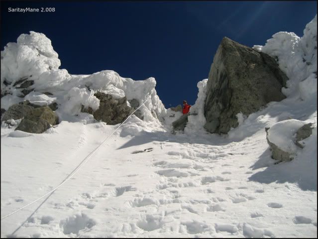
The last steps remaining before get to the pass, are hard to cross, because there's a thin carpet of snow and rock blocks in the middle.
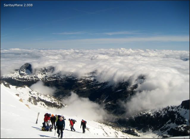
And for the most, we still feel a little scary. But finally we reach the top of the pass.
Feeling satisfied at the 'Collado (pass) de Coronas'...
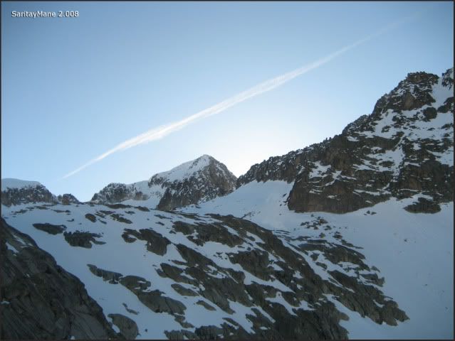
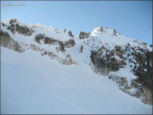
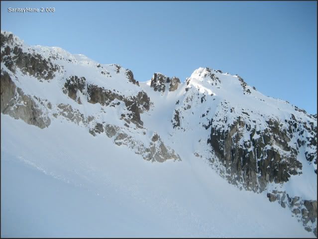
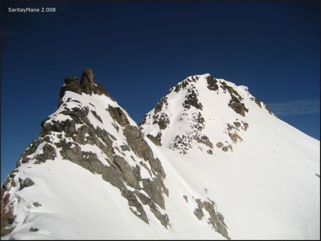
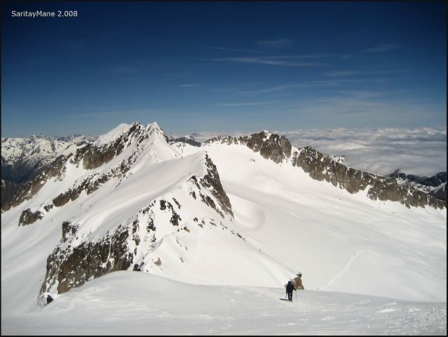
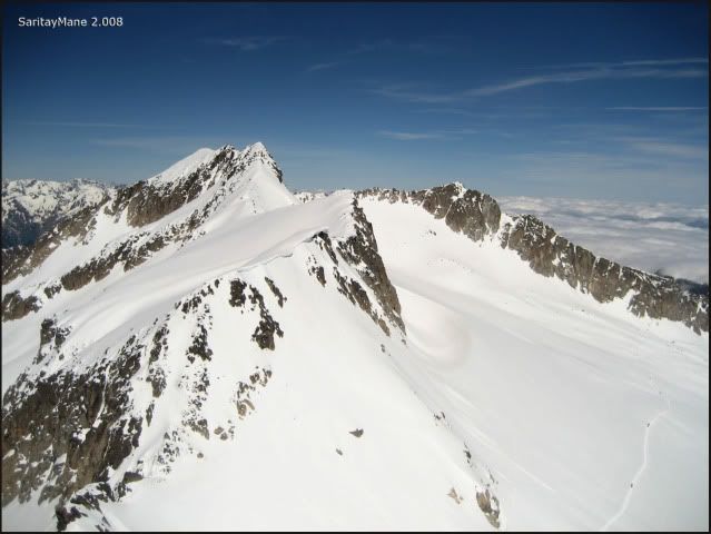
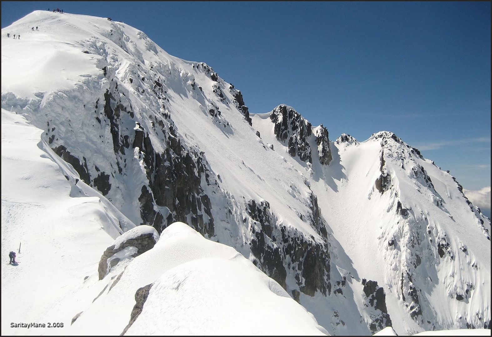
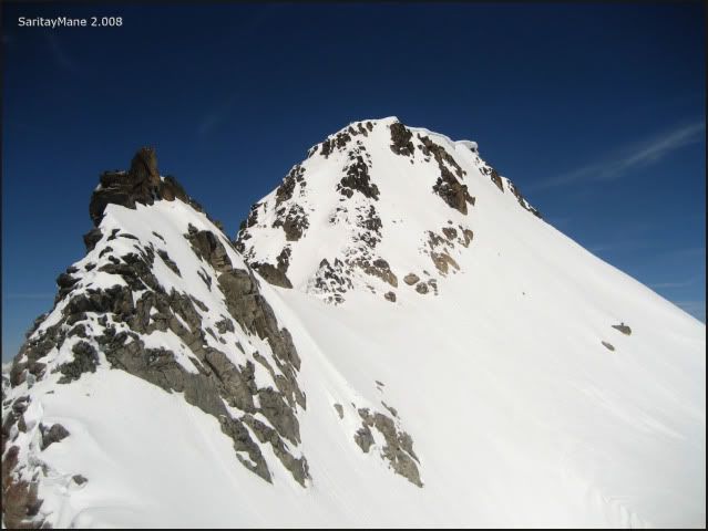
... from here, we can see the crest to the Tuca and Pico de Coronas (tuca and pico have the same meaning, known as peak)...
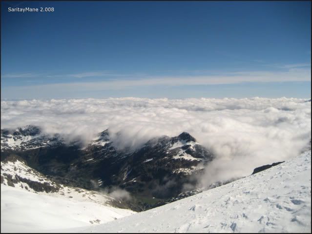
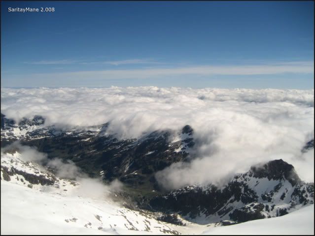
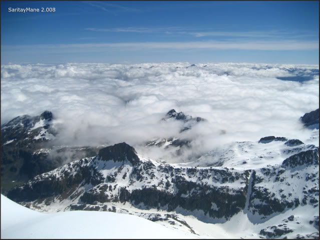
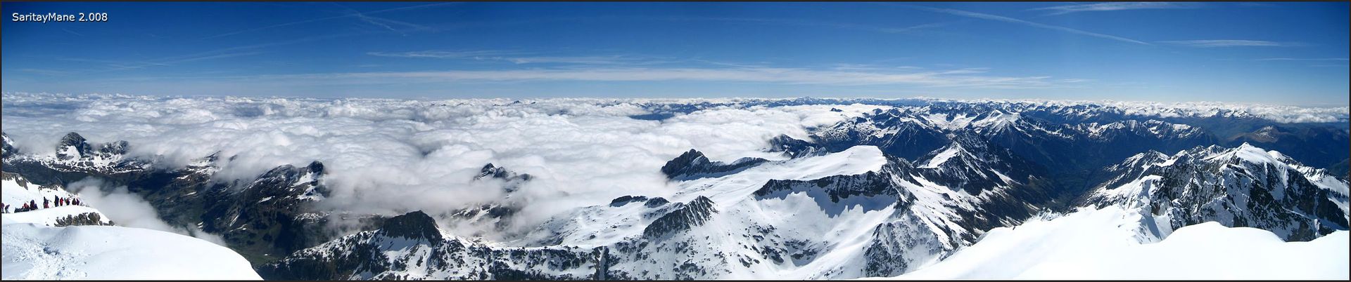
... the clouds swimming further the North side.
We seize to take a short brake and talk to our new chaperones, including the felt one.
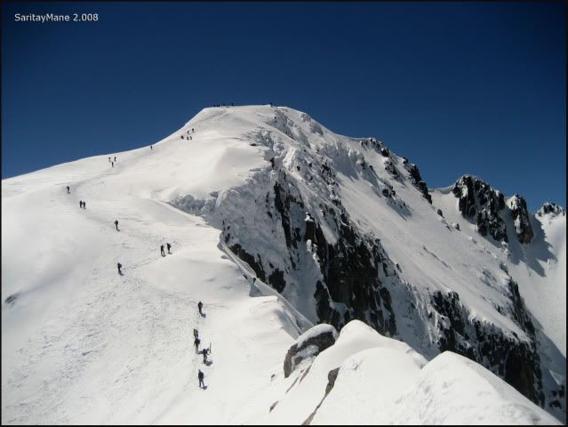
From this point... follow the line, please...
... the line coming from the Hut of Renclusa!!
Fortunately, the view is astonishing...
... climbing on the North Face of 'Punta Oliveras - Arenas'...
... unable to get lost!!...
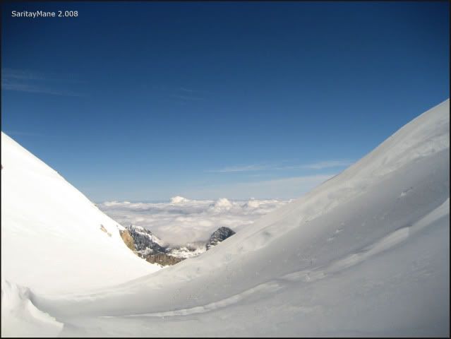
... look at that cloudy swell!!...
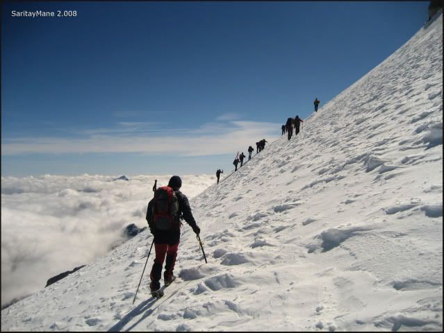
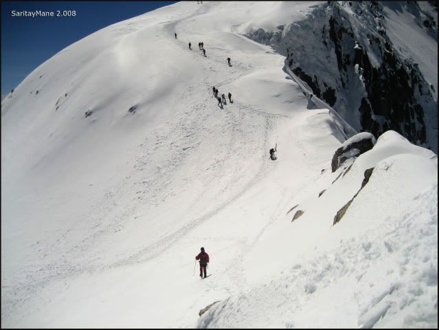
... following the eternal footprints...
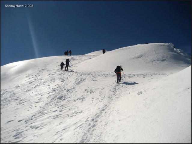
... some climbers feel tired at this point...
... close to the pass named 'Puente de Mahoma'...
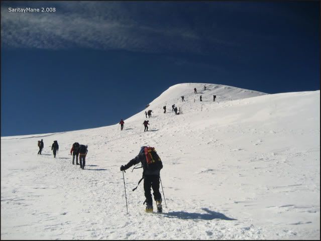
... looking at the Ridge to the Peak Maldito.
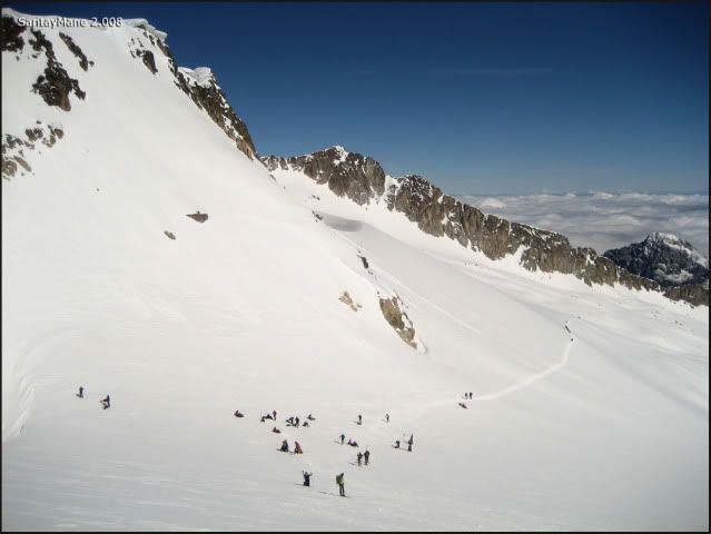
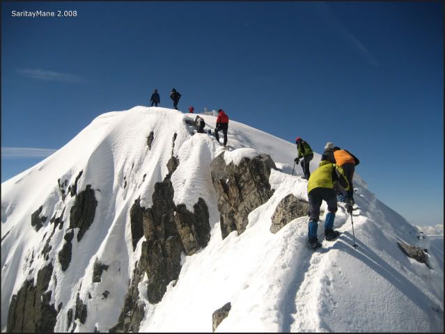
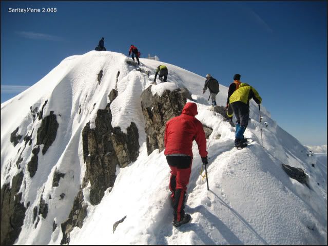
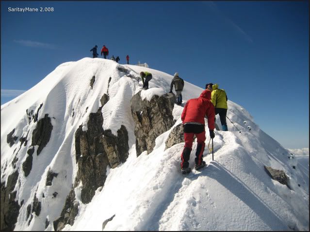
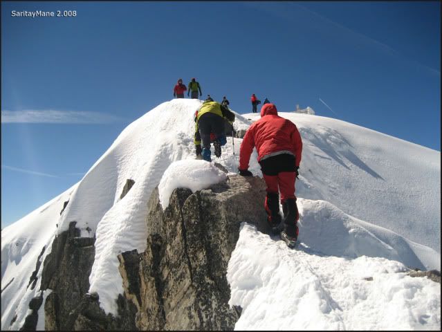
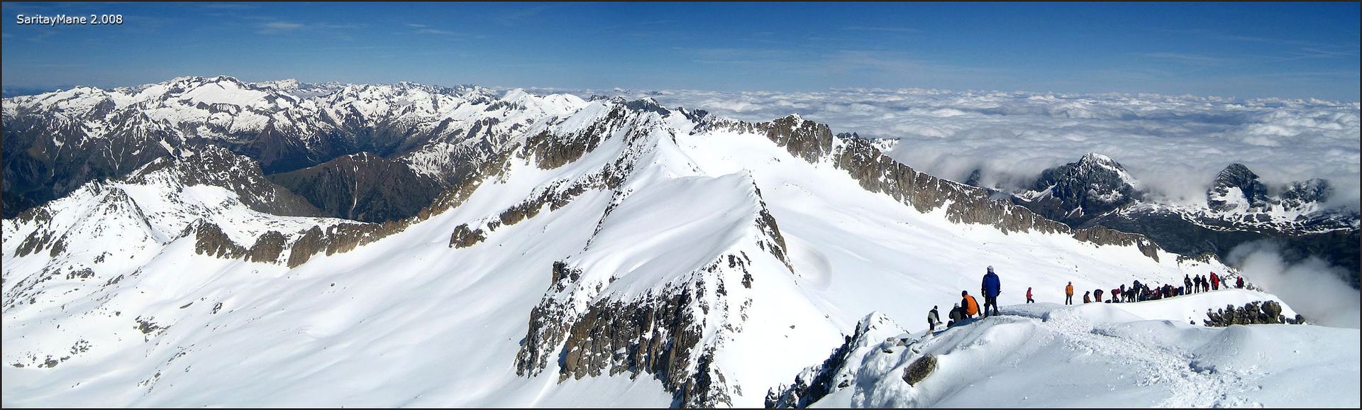
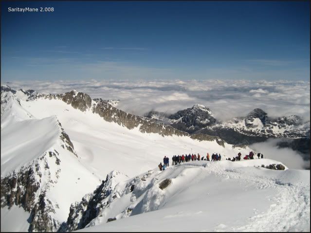
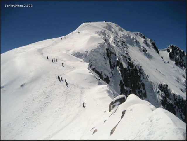
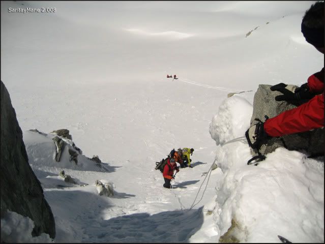
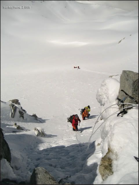
A few meters up, find a plateau before the 'Puente de Mahoma'. Crowded please, for sure!
At last, the famous 'Puente de Mahoma'...
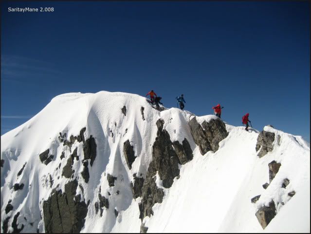
... the crowd coming on our backs...
In the background, the Posets. Probably it would be less crowded!
It's great feeling from here! But there are too much people in here, many of them are making such a big peak like this for the first time!
But at least, the view from here is a great reward.
We have to wait for our turn, to cross the pass. It's a big queue for a place like this.
This is just before the pass.
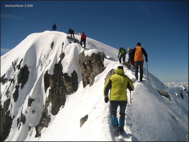
There's a full path to get through it.
Mane goes before me.
It's a deadly fall, for sure.
The last step over the 'Puente de Mahoma'...
Looking back, seeing the pass.
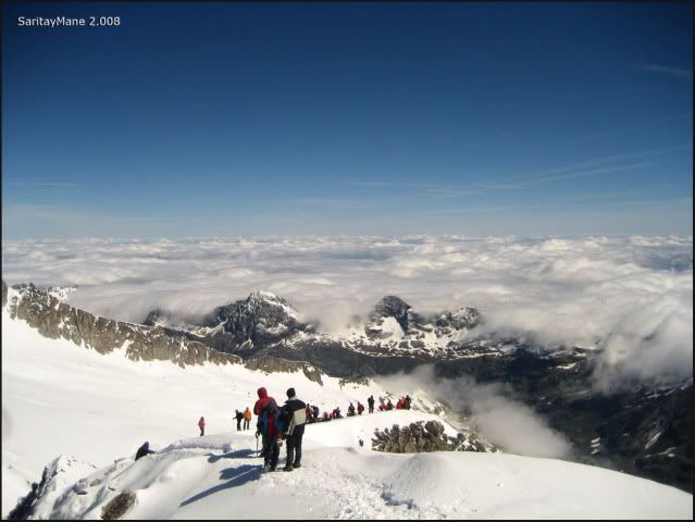
Finally, we reach the highest Summit in Pyrenees.

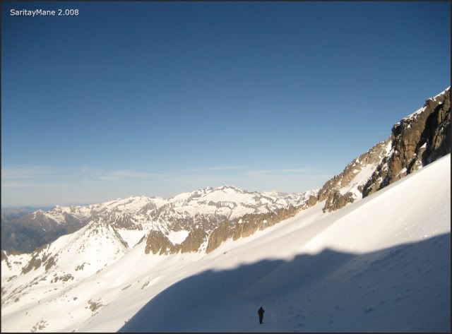
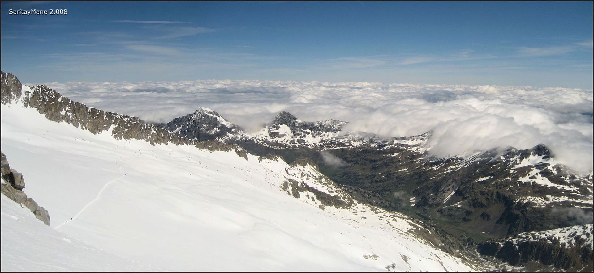
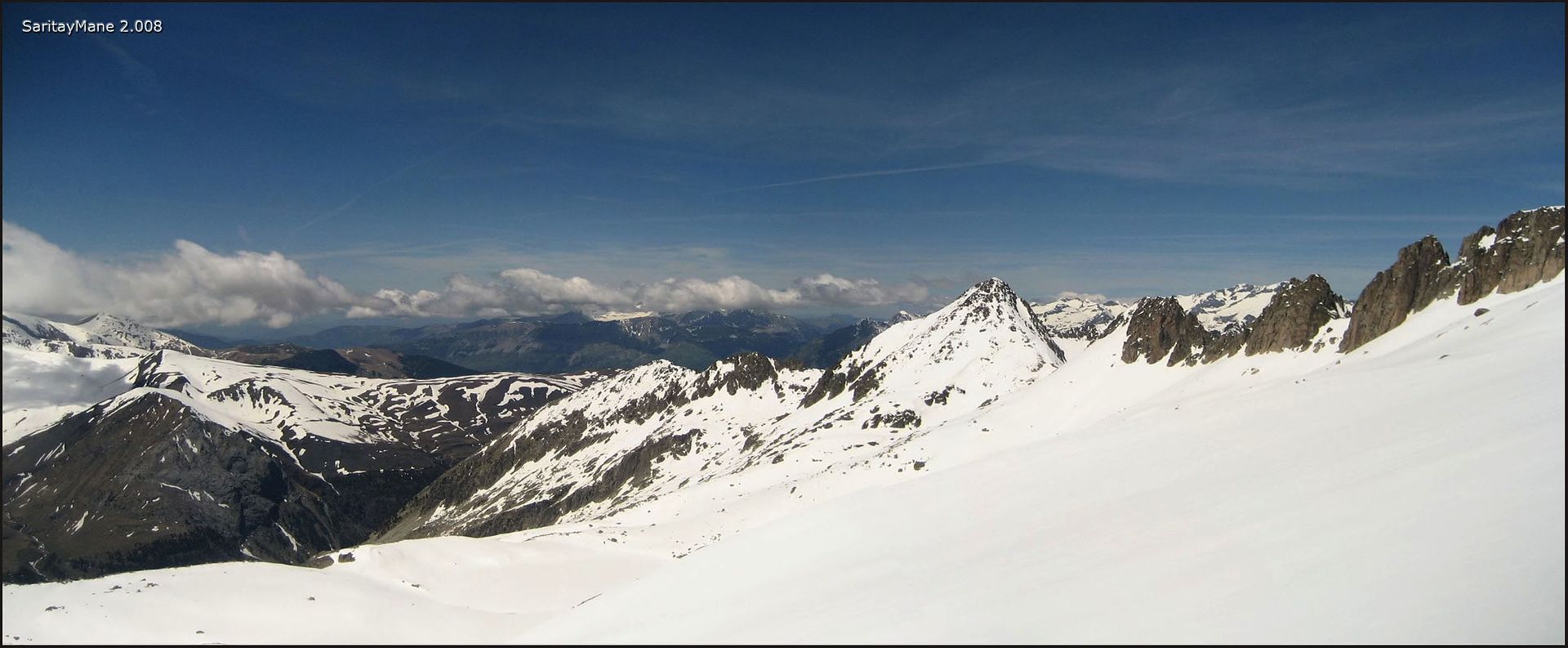
Seeing clouds over France.
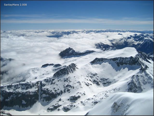
The North side of Pyrenees.
A pan picture, towards the 'Puente de Mahoma'.
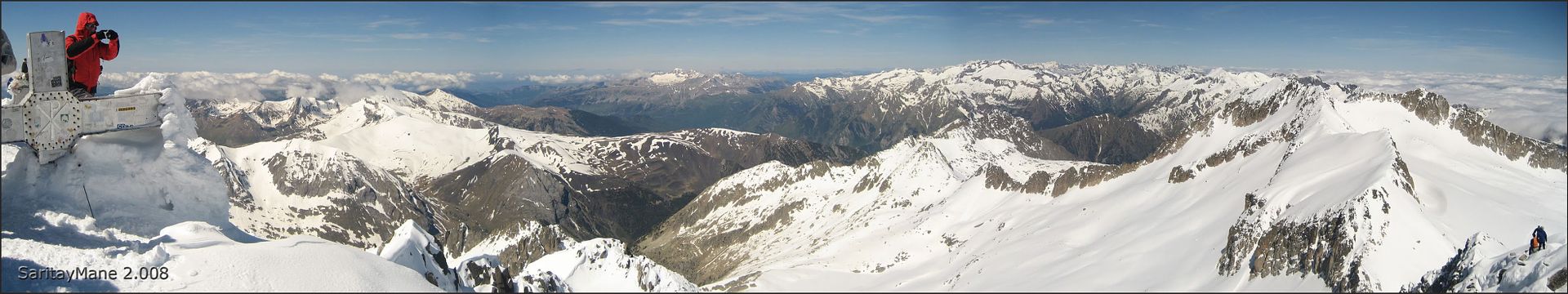
Another pan towards the Pyrenees...
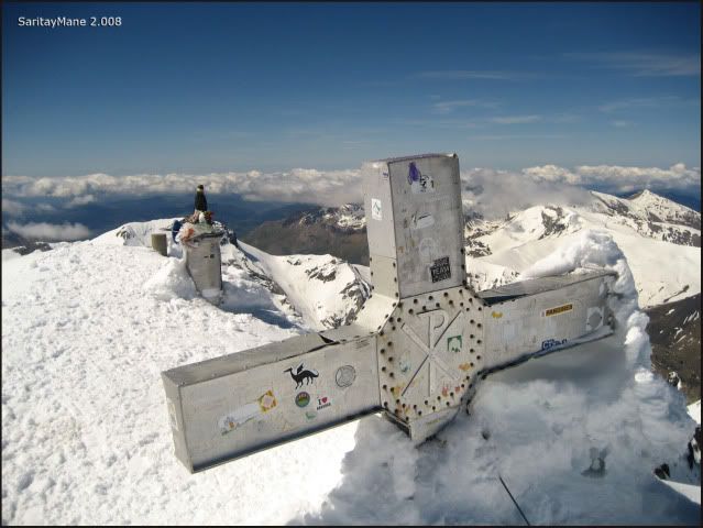
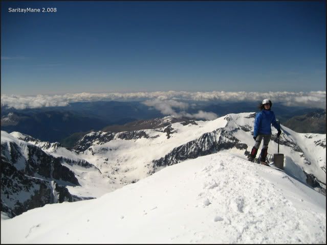
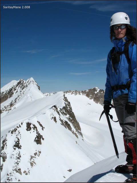
Aneto's Summit (3.404 m – 11.167 ft). Highest Summit in Pyrenees and in Huesca.
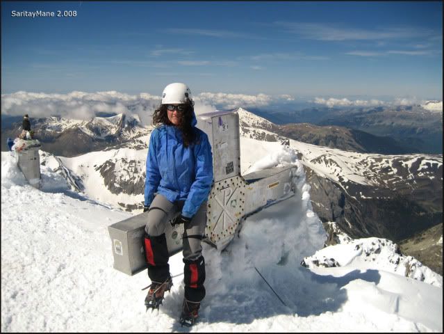
Where is settled this metal cross.
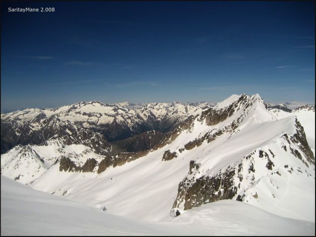
Looking at the peaks named 'Aguja Escudier' and 'Aguja Daviu', another peaks over 3.000 m – 9.842 ft.
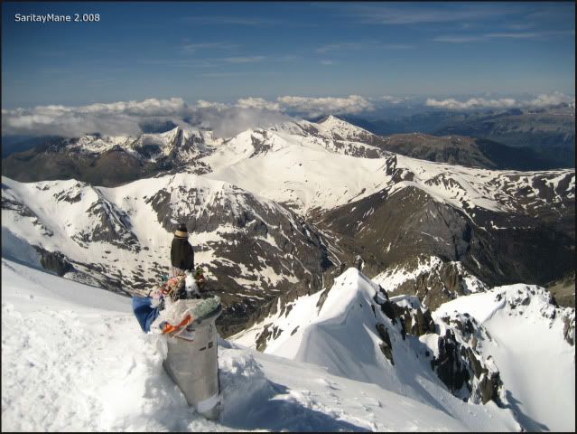
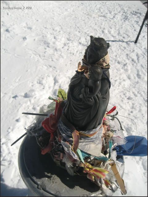
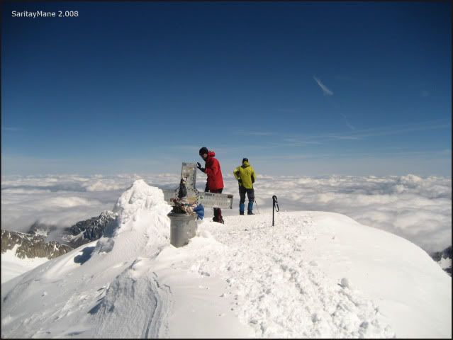
Here you see on close-up, the virgin named 'Virgen del Pilar', very important here in Spain.
Now a bit closer.
Next to the triangulation pillar (we named this objects in previous reports as geodetic vertex).
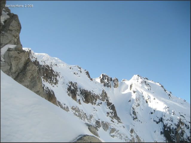
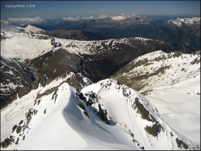
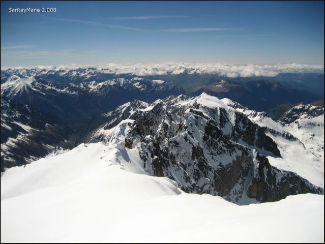
The crest to the 'Espalda del Aneto', TEMPESTADES and the snowcapped Russell...
While Mane observes the cross on the summit.
And the crowd on the other side.
It's time to move. So let's take our turn to go.
The last pan above Aneto.
It takes us a bit of time to wait, while people don't behave polite as to let us cross the narrow pass. Many mountaineers come from the other side without asking for a turn. But finally...
Moving to the Peak 'Punta Oliveras – Arenas'.
Watching eastwards.
The 'Punta Oliveras – Arenas' is a peak over 3.000 m – 9.842 ft with little importance. It's much more like a Nort-Northwest pre-Summit of Aneto.
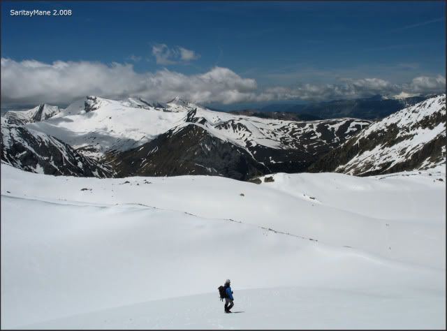
The view of the final slope to Anteto.
Now, on the top.
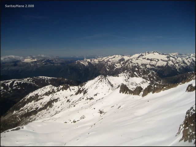
The Crest towards Maldito and LA MALADETA on right-hand.
... Peak POSETS...
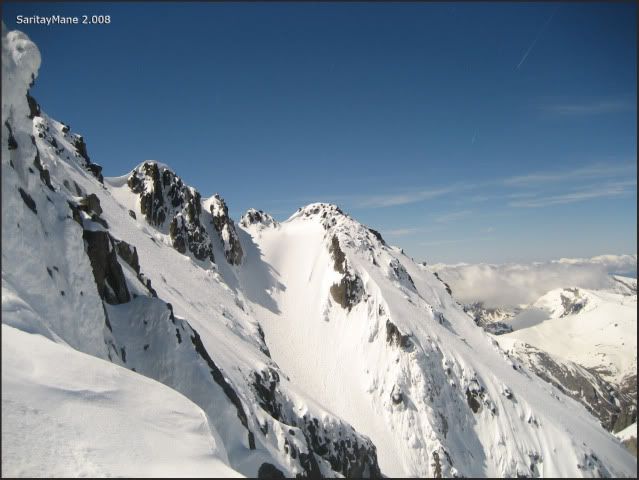
The Couloir Estasen from the 'Punta Oliveras – Arenas'.
Aneto, full of ants.
Mane begins descending.
Summit of 'Punta Oliveras – Arenas' (3.298 m – 10.820 ft).
Seeing clouds unable to rise over the peaks in the North side.
By now Mane is closed to the Pass of Coronas.
Once at the pass, there is the possibility of making a belay station, if you feel unsecure to descend from the pass itself.
The crest to 'Tuca de Coronas' from the pass.
Now descending...
... making use of a rope.
Mane descending the worst part...
... after the pass.
We let this skiers climbing while we wait to take back the rope.
Getting back.
Now further the pass.
Watching over the Valley of Coronas.
Good-bye, Aneto... hope see you soon.
On our way back.
The pyramd-shaped ARAGÜELLS in front of us.
Mane advances slowly, it might be because of the soft snow...
ARAGÜELLS on left-hand and AGUJA JUNCADELLA on the right.
A few meters down, surrounding the 'Ibón Inferior de Coronas'.
We are hungry!!... We stop to eating and resting for 1 hour.
Crossing the brook coming from the 'Ibon'.
By now, clouds arise above the peaks.
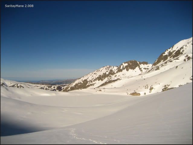
From this point, we descend looking for the 'Ibonet de Coronas', to take the path that would lead us directly to the parking area, at the bottom of the valley. Finally we get there, and make the most of the time to have a little rest.
During the rest, we chat about our next destination: TEMPESTADES is waiting for us...
To look for another Climbings in English Version, click on this link: RANK OF PEAKS. ENGLISH VERSION.


No hay comentarios:
Publicar un comentario